-40%
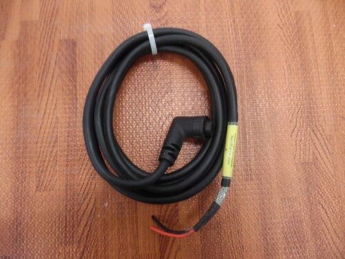
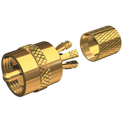
GARMIN GPSMAP 192C Color Chartplotter / Fisfinder with GPS antenna. Full set!
$ 157.87
- Description
- Size Guide
Description
GARMIN GPSMAP 192C Color Chartplotter / Fisfinder with GPS antenna. Full set!Fully tested with guarantee. Complete set, ready to install.
Preloaded and ready for the water
The GPSMAP 192C is ideal for seafarers who log a lot of miles on their boats, or for people who don’t have access to a PC to load individual charts onto their plotter. The unit boasts built-in, highly-detailed BlueChart cartography of the coastal United States — including Alaska and Hawaii. This data provides detailed coastlines, shaded depth contours, navaids, port plans, wrecks, restricted areas, and more. Boaters can also purchase pre-programmed data cards of other BlueChart regions, like Canada or the Bahamas, or charts of inland U.S. lakes.
The unit has been updated with a new look and feel that makes marine navigation even easier. Building on Garmin’s popular and proven GPSMAP 182C, the GPSMAP 192C has a new and brighter display that makes charts incredibly easy to view — even in direct sunlight. The unit also features an updated faceplate.
Designed for easy installation in your boat’s open cockpit or overhead boxes, Garmin’s GPSMAP 192C Sounder helps you chart a clear path to your fishing or boating destination.
General
PHYSICAL DIMENSIONS 6.3" x 6.2" x 2.64" (16.0 x 15.7 x 6.7 cm)
DISPLAY SIZE 5" diagonal
DISPLAY RESOLUTION 234 x 320 pixels
DISPLAY TYPE 16-color TFT
WEIGHT 2.0 lbs.
WATER RATING IPX7
MOUNTING OPTIONS Bail or Flush
POWER CONSUMPTION 10 W max at 13.8 vDC
ANTENNA Internal with external connection
GARMIN MARINE NETWORK™ PORTS None
Maps & Memory
PRELOADED MAPS Yes (BlueChart)
ACCEPTS DATA CARDS 1 Garmin Data Card
WAYPOINTS 3,000
TRACK LOG 2,500 points
ROUTES 50
Outdoor Recreation
TIDE TABLES
Chartplotter Features
GARMIN SONAR COMPATIBLE Yes (with GSD 20 or GSD 21)
SUPPORTS DSC (DISPLAYS POSITION DATA FROM DSC-CAPABLE VHF RADIO)
GSD™ BLACK BOX SONAR SUPPORT
Sonar Features & Specifications
DUAL-FREQUENCY (50/200 KHZ) SONAR CAPABLE Yes (with external black box, sold separately)
DUAL-BEAM (77/200 KHZ) SONAR CAPABLE Yes (with external black box, sold separately)
BOTTOM LOCK (SHOWS RETURN FROM THE BOTTOM UP)
WATER TEMPERATURE LOG AND GRAPH
Connections
NMEA 0183 INPUT PORTS 2
NMEA 0183 OUTPUT PORTS 2


